Rainforest Volumes
Some slopes take well over two metres of rain a year, which is temperate rainforest by any reasonable definition.

The Southern Appalachians receive enough rain to qualify as temperate rainforest — and what that water actually does to a slope
Where the numbers come from
The word "rainforest" carries a tropical image, but the classification is meteorological, not geographical. A temperate rainforest is broadly defined as a forested region receiving more than 1,400 millimetres of precipitation annually, with moisture distributed across the year rather than concentrated in a single wet season. By that measure, substantial portions of the Southern Appalachians qualify without argument.
Annual totals vary sharply by position. Valley stations in the region may record 1,000 to 1,200 millimetres. The wettest slopes — particularly on the southwestern flanks of the Great Smoky Mountains and along the Blue Ridge Escarpment, where moisture-laden air from the Gulf of Mexico is forced upward and cooled — regularly exceed 2,000 millimetres, and some ridge-top gauges have recorded totals approaching 2,500 millimetres.
This is comfortably within the range of the temperate rainforests of coastal British Columbia or southern Chile. The mechanism is orographic lift: the mountains intercept warm, wet air masses and wring water out of them on the windward face.
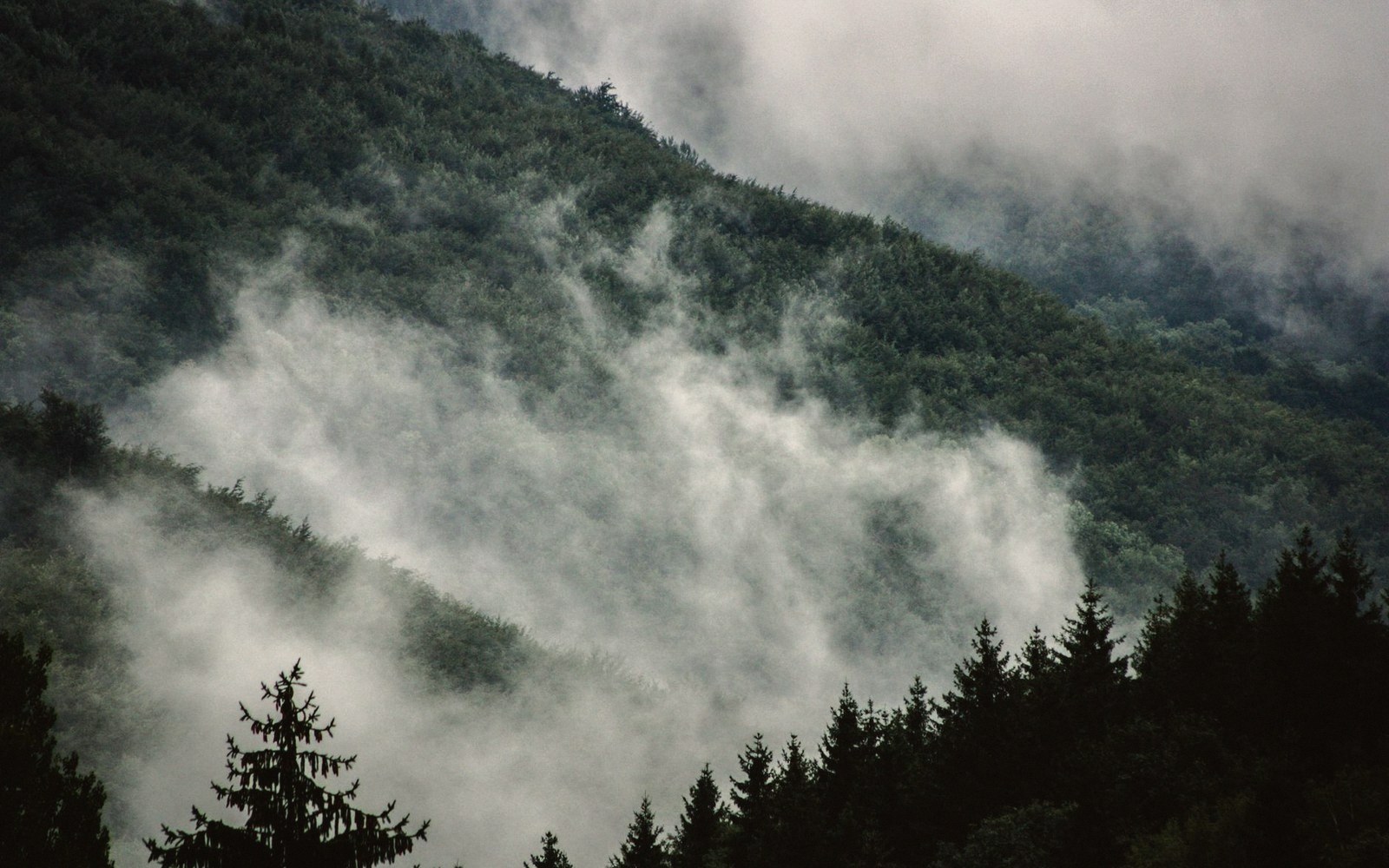
Seasonality reinforces the effect. Unlike Mediterranean climates where summer drought interrupts rainfall, the Southern Appalachians receive precipitation in every month, with tropical moisture from the Gulf arriving in summer and frontal systems delivering winter rain and snow. The result is a forest that is never truly dry.
What the water builds
Sustained high moisture does visible work. In the cove forests of the Smokies — the sheltered, deep-soiled hollows that collect both water and nutrients — tree diversity reaches some of the highest levels recorded in the temperate Northern Hemisphere. Joyce Kilmer Memorial Forest, in the Nantahala National Forest, preserves a stand where tulip poplars exceed 45 metres and circumferences of several metres are common. These dimensions are not coincidental: they reflect over a century of unlogged growth fuelled by reliable moisture and rich alluvial soil.

The understory tells the same story in different currency. Mosses coat every available surface. Liverworts occupy the shaded faces of boulders. The damp litter layer — leaves that remain moist enough to rot quickly and to stay perpetually cool — supports the highest salamander diversity in the world, much of it plethodontid species that breathe through their skin and cannot survive desiccation. The volume of rain is not simply a weather statistic; it is the physical precondition for an entire guild of organisms.
Throughfall and stemflow — the water that moves through canopy and down trunk rather than evaporating — feed streams that run clear and cold year-round. It was partly this permanence of streamflow that drew early botanical collectors to the region.
What the rain enables
- Continuous streamflow year-roundcold, clear, suitable for sensitive aquatic species
- Moss and liverwort ground coverpervasive on boulders, logs and forest floor
- Salamander guild dependent on permanently damp litter
- Canopy trees reaching dimensions (tulip poplar at Joyce Kilmer) comparable to Pacific Northwest old growth
André Michaux, working in the 1790s, found the ravines and watercourses of the Southern Appalachians botanically extraordinary; his collections from the Carolinas remained scientifically productive for decades. Later, Asa Gray would use the region's floristic richness as evidence for his theory of a shared evolutionary history between eastern North American and East Asian plant communities — richness that rain, in these quantities, underwrites.
The wet side and the dry side
Rainfall in the Southern Appalachians is not distributed evenly, and the asymmetry matters ecologically. The southwestern slopes of the Smokies and the escarpment faces of the southern Blue Ridge receive the full force of Gulf moisture. The northeastern flanks and interior valleys sit in a relative rain shadow. The difference can exceed 600 millimetres annually across a horizontal distance of a few kilometres, producing forests of noticeably different composition on ridges close enough to see each other.
Discover Life in America, the nonprofit that has coordinated the all-taxa inventory in Great Smoky Mountains National Park, has documented this gradient in species turnover. The wetter slopes carry different assemblages of fungi, invertebrates and vascular plants than the drier ones — not a gradual fade but a measurable boundary. Two metres of rain versus 1.2 metres, on the same mountain, is not a minor variation. It is a different forest.