Orographic Lift
Air forced up the escarpment cools and drops its water, and the wet side is not a coincidence.
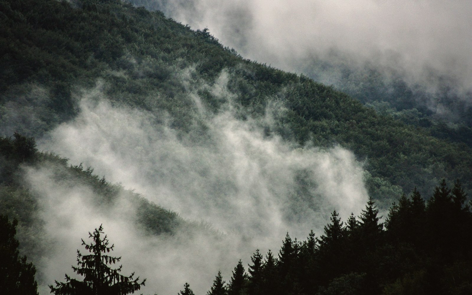
When the air runs out of room to climb
The Southern Appalachians are not especially tall by global standards, but they intercept the dominant moisture flow at a near-perpendicular angle — and that geometry explains almost everything about which side of the ridge is wet and which is not.
Warm, humid air moving inland from the Gulf of Mexico and the Atlantic encounters the Blue Ridge Escarpment as an abrupt wall rather than a gradual slope. Forced upward by the terrain, the air expands and cools at roughly three degrees Fahrenheit per thousand feet of ascent.
The mechanism in numbers
- Cooling rateapproximately 3 °F per 1,000 ft of forced ascent (dry adiabatic lapse rate)
- Peak annual precipitationwell over 2 metres in the wettest Smoky Mountain hollows; among the highest totals in the eastern US
- Rain-shadow ratiototals can fall by half or more within roughly 30 miles of the crest
Once it crosses the dew point, it sheds water — as cloud, as fog, as rain or as orographic drizzle that technically never qualifies as precipitation but soaks everything it touches. The process is called orographic lift ↗, and it is one of the most mechanically reliable rainfall generators in the temperate world.
The numbers are stark. The southwestern slopes of the Great Smoky Mountains receive among the highest annual precipitation totals in the eastern United States — well over two metres in favored hollows, comparable to the Olympic Peninsula of Washington. Cross the ridge and descend into the Valley and Ridge province to the west or northwest, and totals fall by half or more within a distance of thirty miles. The dry side is not drier because storms avoid it; it is drier because the clouds wrung themselves out on the way up.
Elevation compounds the effect. The highest summits — Mount Mitchell in the Black Mountains, Clingmans Dome on the Tennessee–North Carolina line — spend a significant fraction of the year inside cloud. That immersion delivers fog-drip, liquid water condensing on foliage and dripping to the ground independently of any measured rainfall. At some stations the contribution of fog-drip rivals that of conventional rain events.
The consequences cascade through every other feature the range is known for. Cove forests develop their extraordinary tree diversity partly because reliable moisture reduces the periodic drought stress that elsewhere limits which species can establish. Spruce and fir persist on the highest ridges partly because cloud cover suppresses the temperature extremes they cannot tolerate. Salamanders requiring perpetually damp litter find it. None of that is coincidence — it is the arithmetic of forced ascent, cooling air, and a mountain range placed squarely across the path of incoming Atlantic moisture.