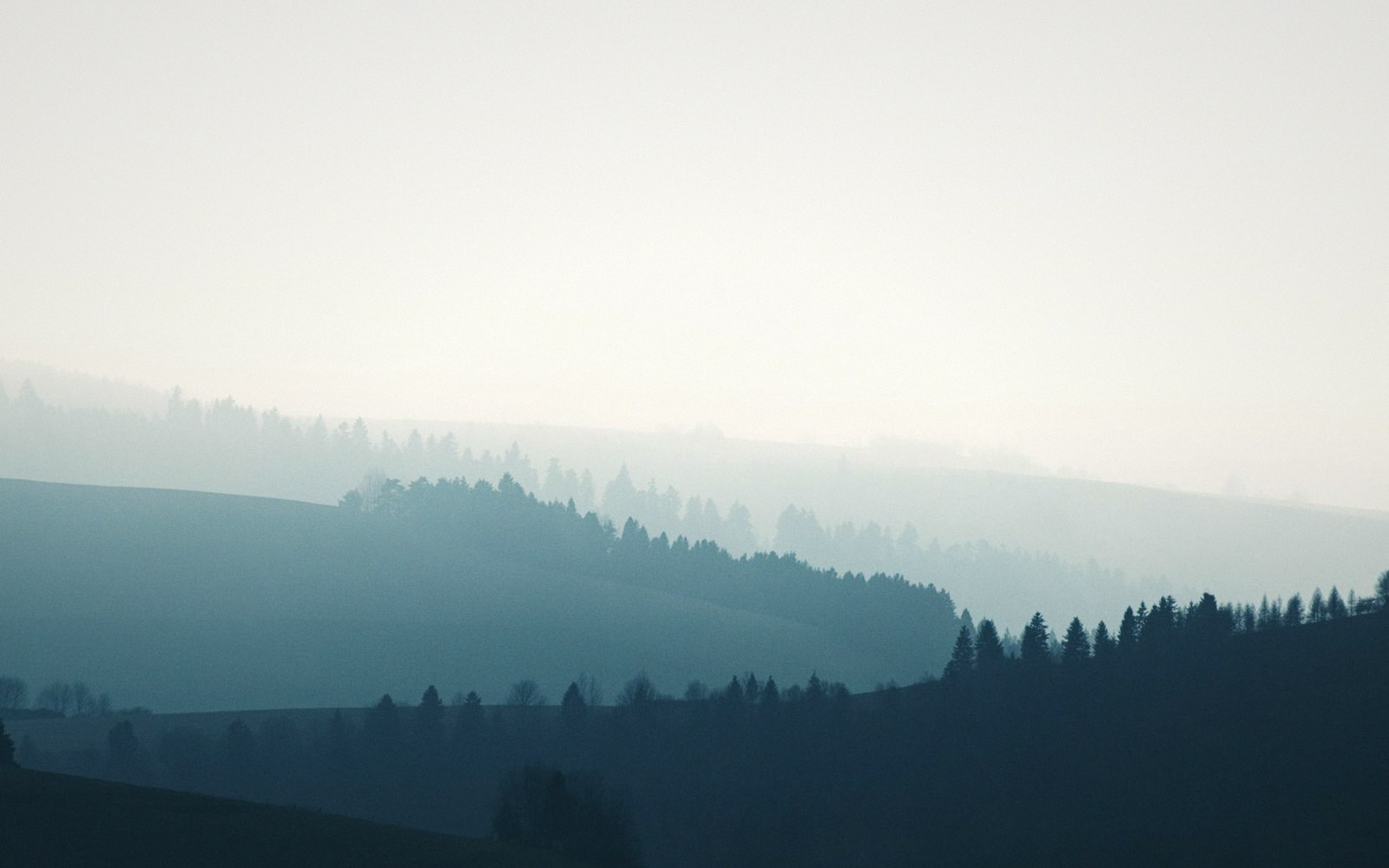
The Southern Appalachians
A range worn to its roots, and never scraped clean
These ridges once stood as high as the Alps. What is left is the ground-down remnant — but the forest on it has never been wiped clean, so lineages have been accumulating here for a very long time.
Cloud sits in the coves most mornings. Ice sheets stopped north of these slopes, so the forest was pushed downhill and back up again rather than removed.
Photo: Adrian Regeci / PexelsLungless
Plethodontids breathe through their skin, which requires permanently damp ground, ties an animal to one slope, and is why a single ridge can hold a species found nowhere else.
More than thirty species breed on the same few thousand square kilometres of never-glaciated highland. The concentration is a consequence of the moisture, not a coincidence of it.
Read the entry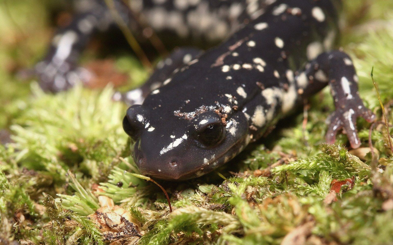
Rainforest volumes
Some slopes take well over two metres of rain a year, which is temperate rainforest by any reasonable definition.
Grass where forest should be
Treeless summits below the treeline, in the Roan Highlands and elsewhere, that nobody has fully explained.
Why anyone counts here
More tree species than the whole of Europe, and the world’s centre of salamander diversity.
Both follow from the same two facts: the ground was never scraped by ice, and it does not dry out.
Who keeps this going
Institutions and field programmes whose attention falls on the same ridges, hollows, and long record this site follows.
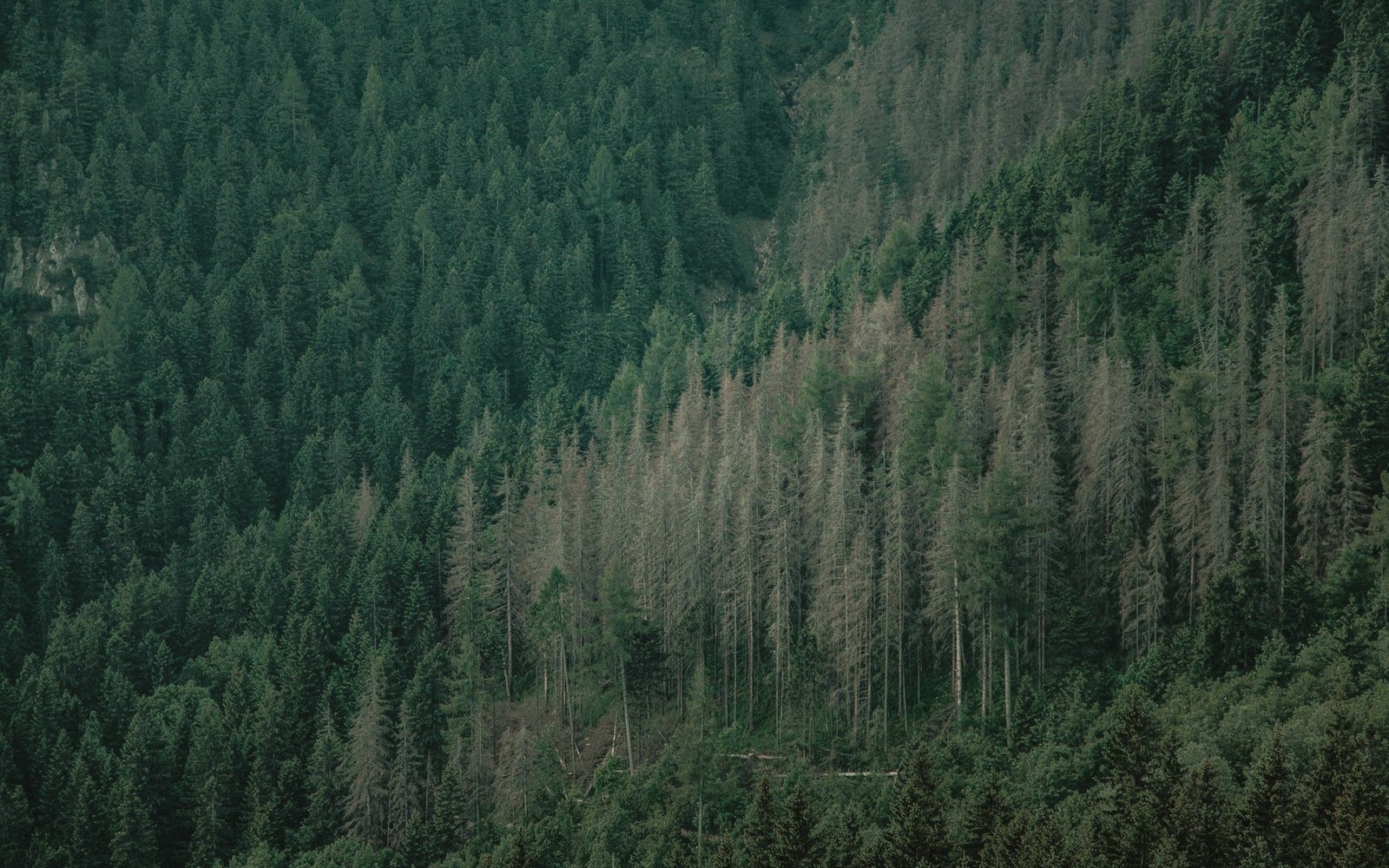
Relicts
Boreal islands above the clouds
Red spruce and Fraser fir sit on the highest ground, stranded there since the last glaciation and held in place by cold and cloud immersion.
The relicts sectionNobody can fully explain the grassy balds, and this publication says so in the entry.
The Balds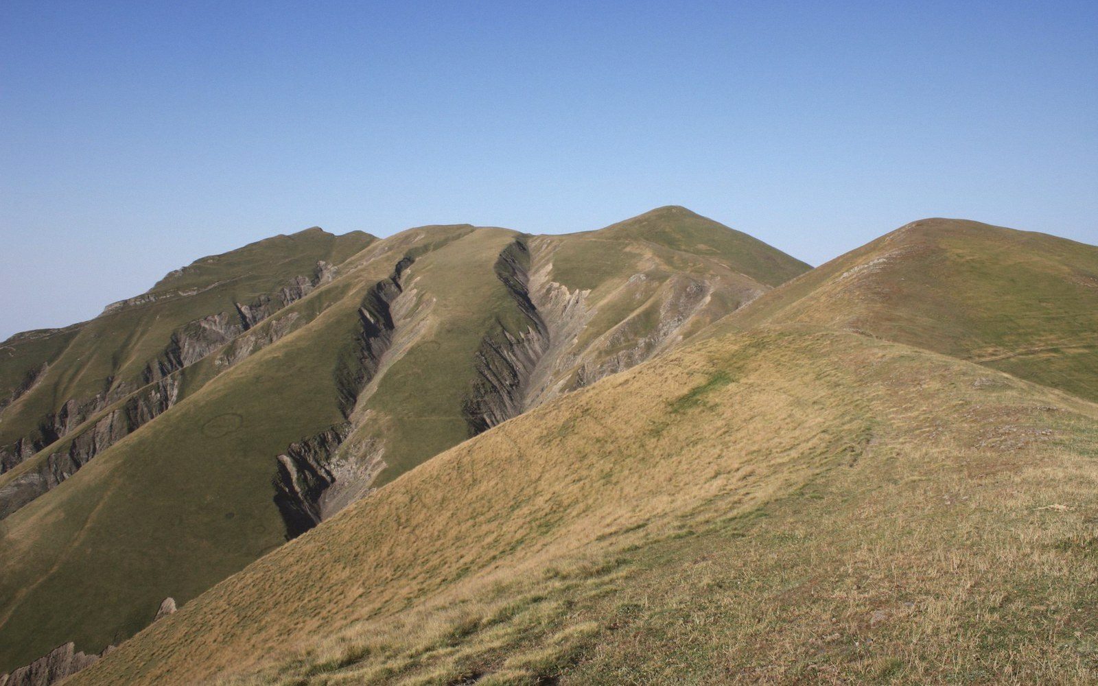
The ground covered
- 1 Great Smoky Mountains
- 2 Mount Mitchell
- 3 Grandfather Mountain
- 4 Roan Highlands
- 5 Linville Gorge
- 6 Black Mountains
- 7 Clingmans Dome
- 8 Joyce Kilmer Memorial Forest
- 9 Blue Ridge Escarpment
The named ranges this publication refers to, along the crest of the Southern Appalachians. Each mark opens the entry written from that ground.
Real coordinates, projected, with the graticule and scale drawn from the same projection. State boundaries and the crest they follow are drawn coarsely, the window is wholly inland with the nearest coast some 400 km east, and nothing is plotted at a resolution anyone could collect from.
Key
- Crest, and the state line on it
- Other state boundaries
- Blue Ridge Escarpment
- Named range in this publication
- Inset: this window within the United States
Seven sections
All nineteen entriesThe Range
Older than the Alps and never scraped.
Salamanders
The world capital, and why.
Rain
Temperate forest at rainforest volumes.
Relicts
Spruce and fir left behind by the ice.
The Balds
Grass where forest should be.
The Chestnut
A canopy tree removed in fifty years.
Field Record
How the mountains got written down.
Supporters, continued
Institutions and field programmes whose work runs through the same hollows and ridgelines this site does.